About Canyon Falls
Canyon Falls was the unfortunate overshadowed neighbor to the gorgeous McWay Falls as they share the Julia Pfeiffer Burns State Park.
That said, its “unfortunate” location may also be fortunate if one was looking for a relatively peaceful and relaxing waterfall hike away from the commotion further downstream towards McWay Cove.
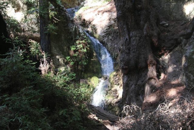
In fact, while McWay Falls gets the lion’s share of social media shares (and the associated crowds that come with it), Julie and I really savored the relative solitude of its less-visited counterpart.
Further adding to the appeal was that since it’s on McWay Creek, Canyon Falls also has a year-round flow, which we could corroborate from our most recent visit in November 2018 after a particularly vicious Dry Season that resulted in California’s deadliest and most damaging wildfires in the state’s recorded history (so far).
I guess the main reason for the lack of fanfare of Canyon Falls was perhaps its rather tiny size, which was probably on the order of 20-30ft.
Also, the forested setting possessed more of a subtle beauty as opposed to the dramatic scenery seen along the rugged Big Sur Coast.
Accessing Canyon Falls
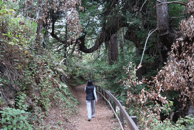
The key to visiting Canyon Falls was to walk in the opposite direction of McWay Falls from the parking area (yep, you’re going away from the ocean instead of towards it; see directions below).
Beyond the parking lot, the well-defined trail meandered past a small picnic area with a handful of picnic tables before following McWay Creek amidst a shady coastal forest.
At about 10-15 minutes into the trail, a new bridge traversing McWay Creek made the continuation of the trail a bit easier to follow.
In the past, this was the part where we tended to get confused about where we were supposed to be walking next.
I’m pretty sure we weren’t alone in our confusion, and perhaps that bridge and re-routing of the trail would reduce the inevitable erosion caused by off-trail scrambling.
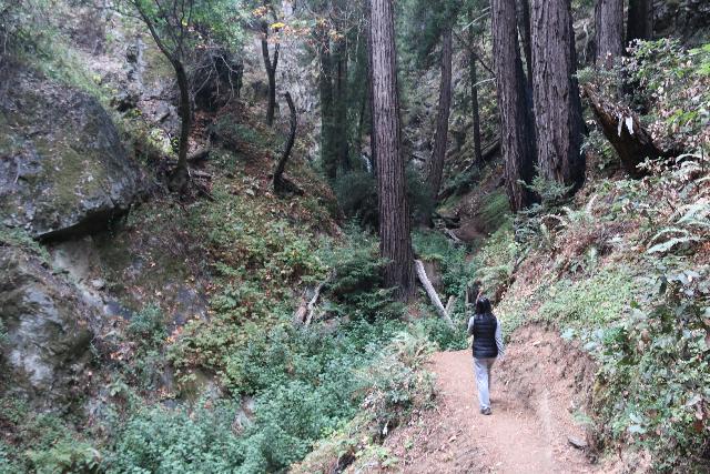
There was also a fork where the path continuing further upstream was the Ewoldsen Trail (not the waterfall trail).
Continuing further upstream along McWay Creek’s southeastern banks after a few minutes more, we finally managed to make it to Canyon Falls (roughly a little over a half-mile from the main car park; or one mile return).
I wasn’t sure if the trail kept going beyond the waterfall as it wasn’t obvious to me where it continued, but it did get me right up to the small three-tiered cascade.
It seemed like the uppermost tiers of this cascade could best seen from further downstream away from the falls as they started to become hidden from view the closer to the falls I had gotten.
In any case, I saw perhaps less than a dozen other people while hiking this trail (contrasting with the hundreds of people sharing the McWay Falls side). So that kind of gives you an indication of how peaceful this nature walk was.
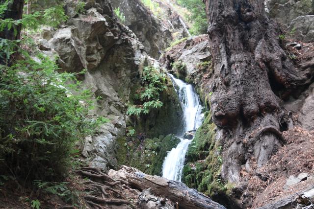
As for photographing the falls, it seemed like the best lighting would occur on a cloudy day.
Our 2015 visit was under clear blue skies late in the afternoon so the sporadic shadows from the forest kind of made taking satisfactory pictures rather difficult.
Our 2018 visit was under marine layer overcast skies, which yielded the more satisfying even lighting.
Authorities
Canyon Falls is administered by the Julia Pfeiffer Burns State Park. For more information, questions, and current conditions, you can check out the California Department of Parks and Recreation website.
Related Top 10 Lists
No Posts Found
Trip Planning Resources
Nearby Accommodations
This content is for members only. See Membership Options.Featured Images and Nearby Attractions
This content is for members only. See Membership Options.Visitor Comments:
Got something you'd like to share or say to keep the conversation going? Feel free to leave a comment below...No users have replied to the content on this page
Visitor Reviews of this Waterfall:
If you have a waterfall story or write-up that you'd like to share, feel free to click the button below and fill out the form...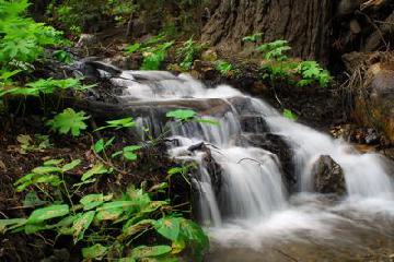 Julia Pfeiffer Burns SP March 22, 2010 8:16 pm - The Canyon Trail was closed last summer when we visited, but there were still some small waterfalls upstream from McWay Falls that I could get to. ...Read More

Only logged in users can post a comment Please login or sign up to comment