About Ovstefossen (Ovstebrufossen)
Ovstefossen (more accurately Øvstefossen; I’ve also seen it called Ovstebrufossen or Øvstebrufossen) was yet another one of the accidental unplanned roadside waterfalls that we ended up stopping for only after noticing a roadside sign along the Rv15.
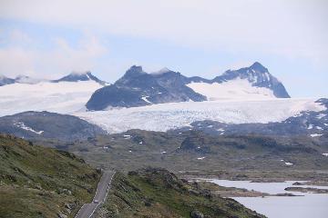
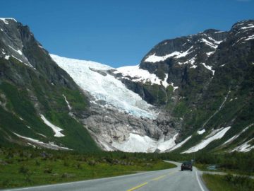
This section of the Rv15 was actually part of the dramatic Gamle Strynefjellsvegen (Old Stryn Mountain Road) where we could see glaciers draping the mountaintops surrounding the road.
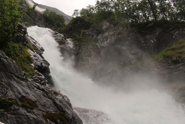
At first, I thought the sign referred to a much taller waterfall tumbling on an unnamed stream beneath the Godtidsskaret.
But once we got out of the car at the associated pullout (see directions below), it became apparent that the sign referred to the loud crashing waters on the Hjelledøla.
The Hjelledøla got its power and volume from the melting snow and glacial ice as the river sat deep in the Hjelledalen just north of the Jostedalsbreen and its associated arms.
According to my measurements on Norgeskart, this waterfall could have a 70m drop over its steepest run covering about 100m in length.
Experiencing Øvstefossen
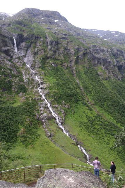
The view from the immediate lookout area adjacent to the pullout only yielded unsatisfying top down views over the Øvstefossen (though the view of the long cascade beneath Godtidsskaret was quite good).
That was when I noticed a trail descending a series of steps and railings alongside the thundering waterfall itself.
Some parts of this trail were slippery and wet due to the spray from the adjacent waterfall so I had to exercise some caution.
But eventually after 10-15 minutes of this descent (though I took my time), I reached the very bottom of the sanctioned trail where I managed to get a somewhat awkward side view of perhaps the most vertical part of Øvstefossen.
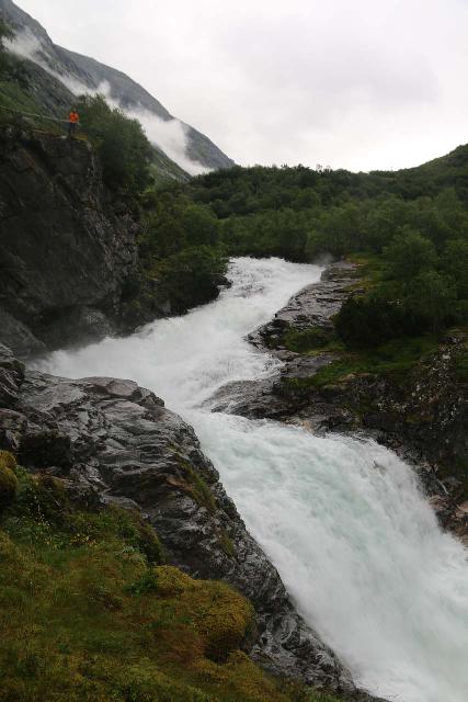
With the lookout so tantalizingly close to the rushing river and falling water, it definitely felt as if the ground had vibrated with the pumping action of the waterfall.
This was my turnaround point, and after climbing all the way back up to the car park (I only took five minutes on the ascent), I had spent about 20 minutes away from the car.
Authorities
Øvstefossen resides in the Stryn Municipality. For information or inquiries about the area as well as current conditions, visit their website or Facebook page.
Related Top 10 Lists
No Posts Found
Trip Planning Resources
Nearby Accommodations
This content is for members only. See Membership Options.Featured Images and Nearby Attractions
This content is for members only. See Membership Options.Visitor Comments:
Got something you'd like to share or say to keep the conversation going? Feel free to leave a comment below...No users have replied to the content on this page
Visitor Reviews of this Waterfall:
If you have a waterfall story or write-up that you'd like to share, feel free to click the button below and fill out the form...No users have submitted a write-up/review of this waterfall


Only logged in users can post a comment Please login or sign up to comment