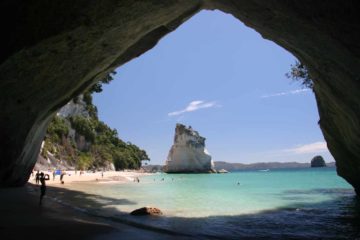
About Acland Falls

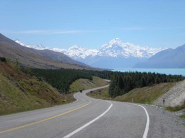
Acland Falls was the first of three waterfalls that Julie and I visited in the peaceful and ancient Peel Forest (Tarahaoa). Perhaps the main reason why Julie and I found so much peace in this pocket of a reserve was that it seemed to be off the beaten path being at least a couple hours drive from Christchurch near Geraldine. We went here as our waterfalling excuse to break up the drive between Christchurch and Mt Cook (Aoraki). So even though the 14m falls didn’t blow us away with its thin flow and modest size, we felt an excursion to this waterfall was more about the lush scenery and a true escape back to Nature as opposed to the tour buses and crowds that we have been more likely with a more famous attraction.
We started off by hiking through an open grassy area at its signposted trailhead. The sign estimated that it would take 30 minutes to reach the falls. Once we got past the sign, we were promptly within the familiar bush scenery that we had experienced on most of the other waterfall hikes throughout the country. Yet what was remarkable about this particular bush scenery was that the Peel Forest was located on the leeward (drier) side of the Southern Alps, so it was pretty amazing to be walking amongst this lushness. As for the track itself, we immediately started climbing until we reached a signed trail junction at the apex of the climb.
At this junction, the left fork was for Allan’s Track, while the right fork descended back down towards Acland Falls said to be another 5 minutes further. Once we were at the bottom of the descent, the remainder of the hike involved stream scrambling within the small gorge carved out by the stream responsible for the falls itself. Fortunately, the stream walk was pretty straightforward because it was shallow, and it was made even easier since Julie and I were equipped with gore-tex hiking boots.
Ultimately, we found ourselves right in front of the sloping and slanting Acland Falls. Even though it was pretty sunny back at the trailhead, we were in the depths of a lush forest and gorge so there wasn’t a whole lot of light that made it through to the falls. Thus, I had to hold my breath to take photos as all of them were virtually long exposure shots in order to ensure the photos wouldn’t come out too dark. Anyhow, when Julie and I returned to the car, we had taken about 50 minutes, which was not much less than the original estimate given by the sign at the trailhead.
Related Trip Reports

Related Top 10 Lists
No Posts Found
Related Itineraries
Trip Planning Resources
Nearby Accommodations
This content is for members only. See Membership Options.Featured Images and Nearby Attractions
This content is for members only. See Membership Options.Visitor Comments:
Got something you'd like to share or say to keep the conversation going? Feel free to leave a comment below...No users have replied to the content on this page
Visitor Reviews of this Waterfall:
If you have a waterfall story or write-up that you'd like to share, feel free to click the button below and fill out the form...No users have submitted a write-up/review of this waterfall
Only logged in users can post a comment Please login or sign up to comment