About Cascade Falls

Cascade Falls was our excuse to break up the very long drive from Los Angeles to Salt Lake City. While you don’t need to make such a long drive to reach this waterfall, it was conveniently within an hour’s drive east of Cedar City, and it was a pretty easy yet scenic hike amongst the red cliff scenery that could be experienced in the nearby Cedar Breaks National Monument. In a way, it was kind of like a mini-Bryce Canyon to us, except on this hike, we were able to hike amongst such cliffs with a waterfall attraction to boot! As for the waterfall itself, it was the result of an outflow of Navajo Lake through sink holes at the east end of the lake. The water then found its way through old lava tubes (hinting at the geologic history of Cedar Mountain) before emerging as the Cascade Falls amongst the layers of red cliff that Cedar Mountain was known for. The stream would eventually reach the North Fork of the Virgin River down by the Kolob Terrace section of Zion National Park (though this waterfall and trail was part of the Dixie National Forest and not part of the National Park itself).
By our wild guess, we suspect that the cascade was probably on the order of 200ft or so, but as you can see from the photo at the top of this page, we never really got a clean look at the entirety of the falls due to the trees getting in the way. The trail itself brought us to the very brink of the falls, where we could see the water shoot out of the red cliffs then cascade further below us as it made its way well downstream. The vertical drop of the falls as seen from the top of the falls was probably on the order of 5ft or so. The rest of the falls was pretty much cascades, but from what we could tell, we weren’t able to safely get in front of the cascade without going off trail, which we don’t recommend doing, especially since we were bringing a little kid.
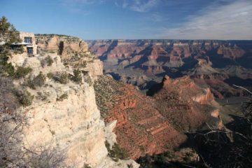
At the trailhead (see directions below), we were already treated to nice views in the direction of the cliffs of the Kolob Terrace in the distance. Once we had our fill of the views from here, we then took an obvious trail headed in the northwesterly direction (to our right as we faced the cliffs) where the trail pretty much followed along a ledge the entire way. The trail initially followed a forested area until it reached an intermediate lookout point with a railing at about a quarter-mile from the trailhead. Beyond the lookout, the trees then became more sparse as the narrowing trail hugged ledges along a very scenic stretch of red cliffs. When the trail briefly re-entered a grove of trees, that was when we started to get our first partial looks at the Cascade Falls. The trail then resumed hugging red cliffs before descending briefly under an overhang with a bench, where the trail then climbed up some steps and traversed a fairly rocky section as it made its final approach to the top of the falls.
Overall, we hiked around 1.1-1.2 miles round trip, and it took us a little over an hour or so (including the time spent taking pictures). We also had to take our time a bit because of the high altitude of the trail (the trailhead was at about 8,900ft in elevation and the end of the trail was at about 8,800ft), especially if we had been sitting in the car at lower elevations for such a long time. At these high elevations, we were able to do this hike on Memorial Day Weekend in 2017, but I’d imagine snow can impact access depending on how much snow Cedar Mountain would get. This was why the National Forest literature on the Cascade Falls Trail recommended that this was a Summer only trail.
Related Trip Reports

Related Top 10 Lists
No Posts Found
Related Itineraries

Trip Planning Resources
Nearby Accommodations
This content is for members only. See Membership Options.Featured Images and Nearby Attractions
This content is for members only. See Membership Options.Visitor Comments:
Got something you'd like to share or say to keep the conversation going? Feel free to leave a comment below...No users have replied to the content on this page
Visitor Reviews of this Waterfall:
If you have a waterfall story or write-up that you'd like to share, feel free to click the button below and fill out the form...No users have submitted a write-up/review of this waterfall
Only logged in users can post a comment Please login or sign up to comment