About Big Falls
Big Falls could very well be Southern California‘s tallest year-round waterfall with a reported cumulative drop of 500ft.
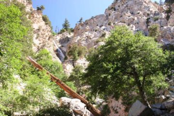
In our experiences, there was no way to see the entire waterfall from any one spot since it came down in multiple tiers as it twisted and turned on its way down with plenty of canyon walls and trees in the way to ensure we never got a totally clean view.
However, just the main tier alone was attractive and tall (maybe some 150-200ft or so) and certainly worth the effort to drive all the way here.
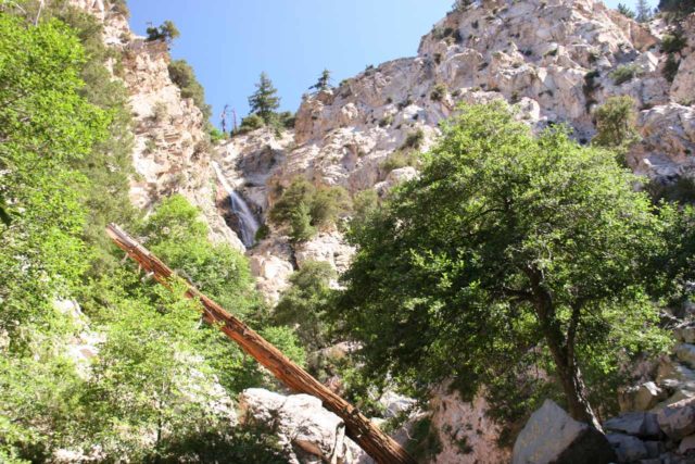
In fact, we liked this waterfall enough to place it on our Top 10 List of Best Southern California Waterfalls.
Accessing Big Falls
The first time we attempted to visit this waterfall was back in late Spring of 2005 when they closed the trail to the viewpoint below the falls.
During that trip, we had to settle for views from across the canyon at the Forest Falls community. We would eventually figure out why the trail was closed (which we’ll get to shortly).
Five years later, we came back in the Summer, and we were pleasantly surprised at its satisfying flow (especially considering it was August and in the middle of fire season).
Another five years after that, we returned with our daughter in the fourth consecutive year of drought yet the dumping of snow from last week (which was rapidly depleting thanks to record high temperatures) ensured that this falls had a healthy flow.
Indeed, given the variety of circumstances we’ve seen this falls, it never seemed to disappoint.
In addition, the trail was open (and pretty busy), but it was quite manageable (even for our four-year-old).
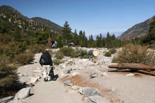
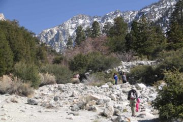
So after parking the car and displaying a Forest Adventure Pass, we followed the trail to the left along Mill Creek before we had to cross it.
The crossing was nothing more than rock hopping to stay dry, but I could totally imagine how it could not be safely crossed during the peak snowmelt period of Spring.
In fact, our Spring of 2005 visit was one such Spring where it followed a heavy-rainfall/snowpack Winter. That would explain why it was closed on our first visit.
During our most recent visit in 2015, Mill Creek was thin enough that our daughter managed to cross it without her tiny feet getting wet.
Speaking of high rainfall years, in Summer of 2010, we were having June Gloom even in August so it seemed like the waterfall’s flow behaved more like it was July or something. It also helped that we had a wet Winter that year.
Anyways, once we were beyond Mill Creek, we were able to scramble onto the rocky delta of Falls Creek where we could look high up at the main section of the falls. It was a good thing I had a telephoto lens this time to capture it.
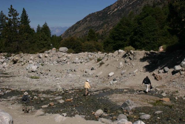
Otherwise, the falls would look pretty small with most normal zooms. We also checked out some of the smaller cascades comprising the lowermost sections of Big Falls.
Behind the Hazardous Area sign, the trail narrowed as it continued to climb uphill for a brief moment before terminating at a railed overlook providing a slightly better view of the main section of Big Falls as well as some other cascades twisting and turning through the canyon.
This would typically be the end point of the excursion, which would end up being about 0.6 miles round trip from the car park.
Scrambling to the Hidden Tiers of Big Falls
Now while I don’t advocate scrambling off trail, Mom and I followed a couple of middle-aged guys who indirectly showed us the way up even higher than the official viewpoint.
This involved a bit of stream walking (good thing we had Gore-tex boots) and rock scrambling all the while avoiding poison oak and a couple of fallen trees.
After another 10-15 minutes more of scrambling, Mom and I ended up seeing a couple of tall vertical hidden tiers that would’ve otherwise not been seen.
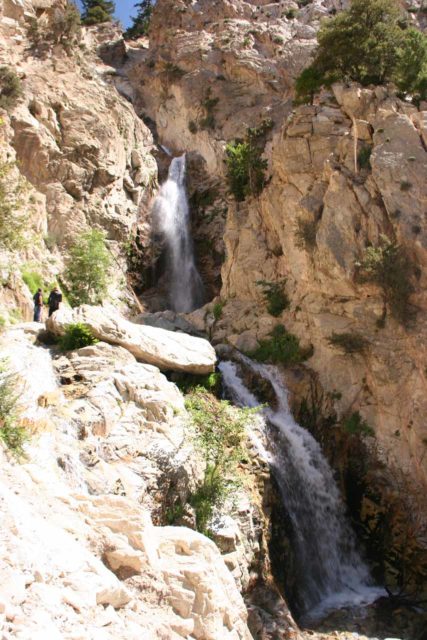
These sections of the falls really reminded me of a taller version of Fish Canyon Falls, and I reckon this was what made the scramble worthwhile.
However, it was dangerous enough where both Dad and Julie stayed behind (and I definitely wouldn’t recommend children, pregnant women, nor seniors try it).
Had those two guys not have already scrambled up and gave Mom the idea of following them, we wouldn’t have made the attempt. Thus, I could totally envision why fatalies have happened here before.
Still, I thought I had seen worse scrambles than this, and if you come prepared and respect Nature enough to be willing to turn back when the conditions wouldn’t allow for you to proceed, then perhaps it might be worth a look to see if the scramble is for you.
But again, be cognizant and respectful of the rockfall danger as well as the slippery rocks.
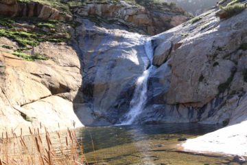
When we had our fill of this overlook and scramble, we then returned to the somewhat open area at the very bottom of the cascades beneath Big Falls (before the trail started climbing).
A Little Water Play downstream of Big Falls
Even though the cascades down here were quite small, this part felt more accessible from a relaxing and playing standpoint.
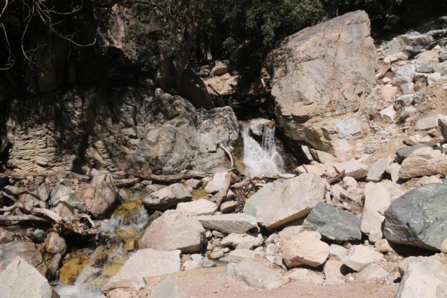
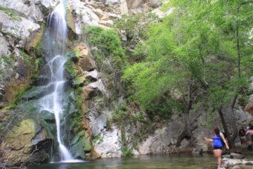
Case in point, on our 2015 visit, our daughter got to take off her shoes and socks and play a little bit in the calm yet icy cold stream.
Other families were doing the same thing. So indeed, this waterfall seemed to have something for everyone – adults, seniors, kids, and people who are young-at-heart.
Authorities
Big Falls resides in the San Bernardino National Forest. For information or inquiries about the area as well as current conditions, visit their website or Facebook page.
Related Top 10 Lists
Trip Planning Resources
Nearby Accommodations
This content is for members only. See Membership Options.Featured Images and Nearby Attractions
This content is for members only. See Membership Options.Visitor Comments:
Got something you'd like to share or say to keep the conversation going? Feel free to leave a comment below...No users have replied to the content on this page
Visitor Reviews of this Waterfall:
If you have a waterfall story or write-up that you'd like to share, feel free to click the button below and fill out the form...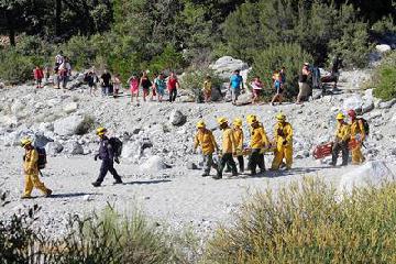 beautiful, but dangerous (Big Falls) August 23, 2015 8:05 pm - The falls themselves are beautiful, but too many people visit it now and there are often over 1000 visitors in a weekend. According to locals in Forest Falls, there is a rescue almost every day now - sometimes more. We saw tons of trash on the trail and lots of graffiti. Yuck. Past the railing… ...Read More
 something local (Forest Falls) June 25, 2012 7:10 am - my boyfriend and i were looking for a place to enjoy nature. weve been all over the area but never forest falls. we tried it and climbed all the way up with our little maltese, she was a fighter, till we could not climb anymore. it was a very pleasant view looking from the bottom… ...Read More
 Forest Falls , CA May 16, 2010 3:17 pm - We took a long hike up to Forest Falls yesterday for the first time and loved it ! The falls are flowing well and the stream below is low enough to cross to see it. Be prepared to get wet ! ...Read More
Only logged in users can post a comment Please login or sign up to comment