About Baejarfoss

Baejarfoss (more accurately Bæjarfoss; pronounced “BYE-yar-foss”; meaning “Town Falls”) is situated right behind the charming town of Ólafsvík (probably known more for whale watching tours). This was a convenient waterfall for us as all we had to do was just walk from the Hotel Ólafsvík towards the back of town (though admittedly we were lazy and drove a short distance closer) and then up a fairly concealed trail where we were able to get fairly close to the falls.
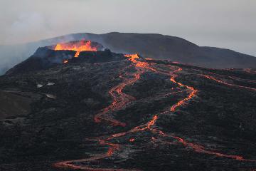
On the late June evening that we visited the falls, we started walking to this waterfall at around 9:45pm and spent about 20 minutes to both walk to and photograph the falls. However, it still felt like it was like 6pm on a typical Summer’s day at home given the high lattitude that we were at on the north coast of the Snæfellsnes Peninsula. In fact, even though most of Iceland was beneath the Arctic Circle, technically speaking, we did get the midnight sun (I think the sun sank beneath the horizon some time after midnight) so that was something we took advantage of in trying to work off the calories gained from our dinner.
The walk involved a little bit of a scramble past some cattle guards towards a direct view of the falls you see at the top of the page. The rather hidden trailhead was between some 3-story apartment and someone’s house just behind a church.
On the walk back to the main part of town, we got gorgeous views of the vast Breiðarfjörður and Atlantic Ocean under the warm late evening glow of the sun.
Related Trip Reports
Related Top 10 Lists
No Posts Found
Related Itineraries
Trip Planning Resources

Nearby Accommodations
This content is for members only. See Membership Options.Featured Images and Nearby Attractions
This content is for members only. See Membership Options.Visitor Comments:
Got something you'd like to share or say to keep the conversation going? Feel free to leave a comment below...No users have replied to the content on this page
Visitor Reviews of this Waterfall:
If you have a waterfall story or write-up that you'd like to share, feel free to click the button below and fill out the form...No users have submitted a write-up/review of this waterfall
Only logged in users can post a comment Please login or sign up to comment