About Waldbachstrub Waterfall

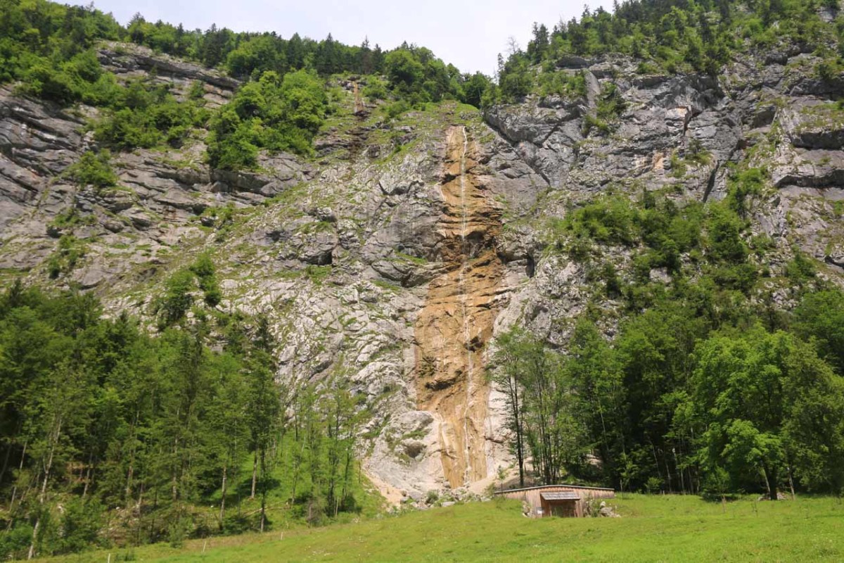
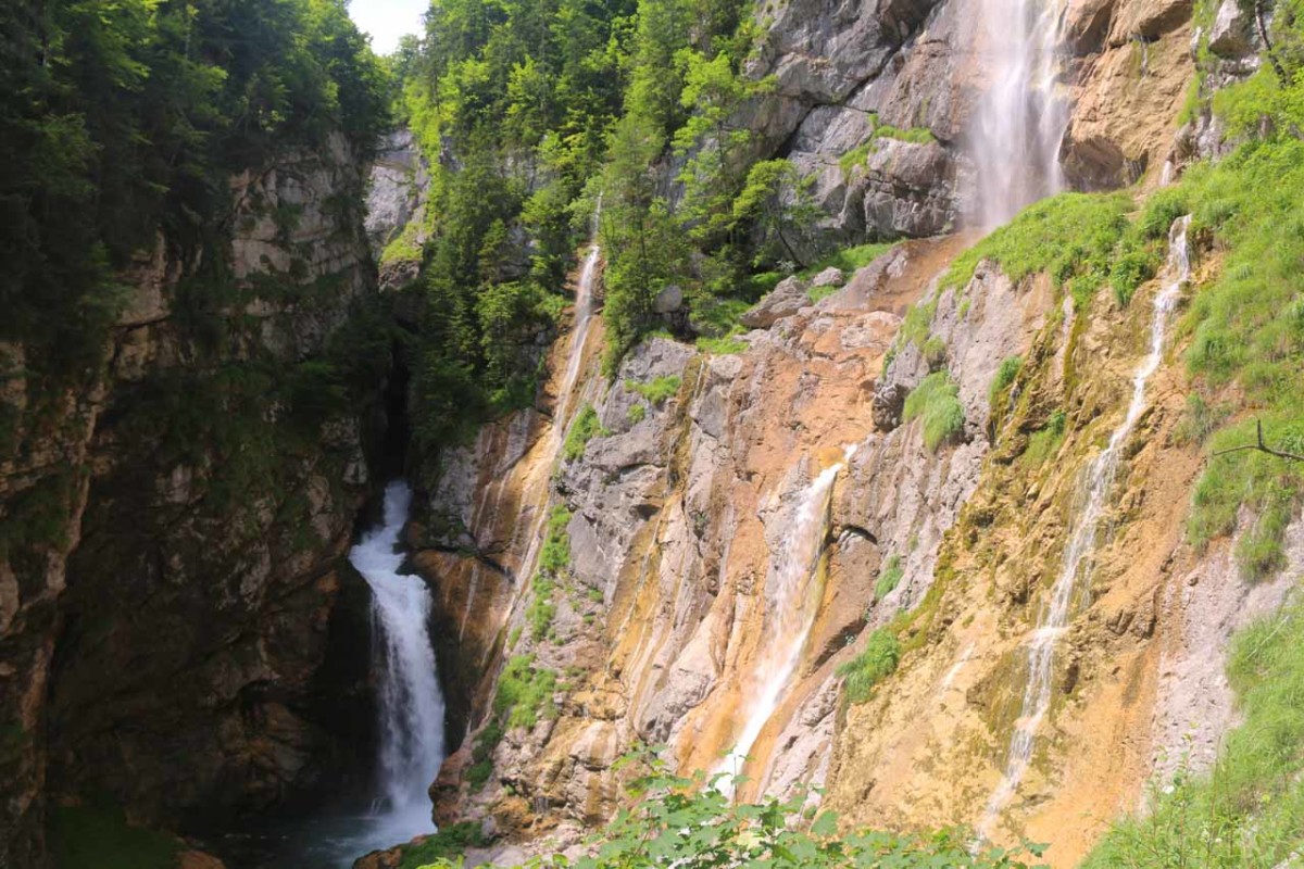
The Waldbachstrub Waterfall was a magical convergence of several waterfalls spilling right at the head of the Echerntal Valley where the Waldbachstrub Stream combined with some seasonal side streams spilled some 95m at its highest height. One thing that I noticed in the literature was that there seemed to be some confusion between this waterfall and the Mühlbach Waterfall, which was much easier to see within the pedestrian zone in Hallstatt. If you click the link and take a look at the other waterfall, you’ll see that it has nothing on this waterfall.
I had to have counted at least four or five waterfalls all spilling onto this one spot, and it was well worth the hike to get here, especially if you consider how much emptier and quieter it was here as opposed to the tourist crush in the village of Hallstatt. While the peace and quiet alone would be sufficient enough to do a nearly 8km round trip hike like this, the waterfalls really made this experience all the more sweeter!

Not knowing which way to go, I wound up taking Echerntalweg on the way in and Demelgasse on the way out (so I might have walked a little more than necessary here).
In any case, after passing by the very popular (yet unshaded) P2 parking lot, I followed along the north bank of the Waldbachstrub Stream further inland as I would continue following residential roads for nearly a kilometer before reaching a Themenweg sign and trail just after a bridge over the Waldbachstrub well towards the back of the residential area.
During my visit, the Schleierfall was tall, but it wasn’t flowing too well. It was a good thing I didn’t mistake this waterfall for the Waldbachstrub Waterfall because that would have been real disappointing. There were signs suggesting that the waterfall remained another 30 minutes away or so. So I pressed on.
Beyond the pasture and the Schleierfall, the path re-entered a well-shaded forest as it ultimately rounded a bend where the Waldbachstrub was a little louder and cascading. At a fork soon thereafter, I kept to the right to climb up towards the waterfall. The left fork would have taken me to the Glacier Garden another 30 minutes later.
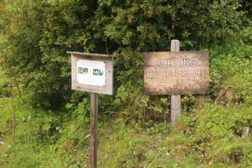
An interpretive sign here suggested that there was quite a bit of historical heritage here. Among the historical occurences included the inspiration of a writer’s tale that took place at this waterfall back in 1845. In another account, Kaiser Franz Josef wrote about his excursion to Hallstatt in a letter to his mother in 1865.
There also appeared to be a bridge in the gorge above the ravine where the Waldbachstrub made its tumble. I didn’t pursue that trail further though I wondered if the alternate trail to the Glacier Garden might have been able to access it.
Anyways, after having my fill of this waterfall, I eventually completed the nearly 8km hike by returning to Hallstatt, where we were spending the night. It took my nearly 2.5 hours but it could have easily taken less time than that since it took me a while to get started (trying to figure out which road inland to walk though it turned out they were all valid), and I lingered for quite a while at the magnificent scenery at the Waldbachstrub Waterfall itself.
Related Trip Reports
Related Top 10 Lists
No Posts Found
Related Itineraries
Trip Planning Resources

Nearby Accommodations
This content is for members only. See Membership Options.Featured Images and Nearby Attractions
This content is for members only. See Membership Options.Visitor Comments:
Got something you'd like to share or say to keep the conversation going? Feel free to leave a comment below...No users have replied to the content on this page
Visitor Reviews of this Waterfall:
If you have a waterfall story or write-up that you'd like to share, feel free to click the button below and fill out the form...No users have submitted a write-up/review of this waterfall
Only logged in users can post a comment Please login or sign up to comment