About Saarburg Waterfall

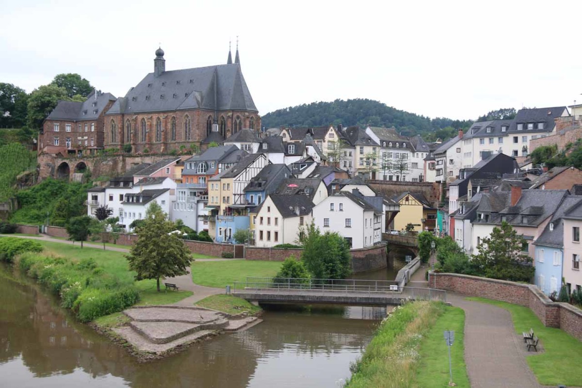
The Saarburg Waterfall was a charming urban waterfall spilling within the old town (altstadt) of the medieval city of Saarburg. While we tend to have negative perceptions of urbanized man-modified waterfalls, the developed surroundings actually added a bit of charm and atmosphere to the overall experience.
For starters, the waterfall was flanked by historical buildings including a water mill that diverted some of the water at the base of the falls to a waterwheel. The buildings were made in the traditional half-timbered style that really amped up the cuteness and charm factor. Such architectural styles seemed prevalent in all the German speaking countries we’ve visited so far (namely Germany, Austria, and Switzerland).
While there were many ways to reach the Saarburg Waterfall after leaving the car at one of several car parks in and around town, we’ll describe our walking route from the car park that was near the Alt (Old) Saarburg (see directions below).
From the car park, we walked beneath the bridge supporting the L132 road, then we followed the narrow street called Staden through the lower extremes of Old Saarburg. After roughly 200m along this relatively quiet street, we then reached a fork. Keeping straight at the fork led us to a dead-end right a mill. Going left at the fork led us up a narrow, twisting, and sloping alleyway before we eventually arrived at an overlook about 50m or so up this climb.
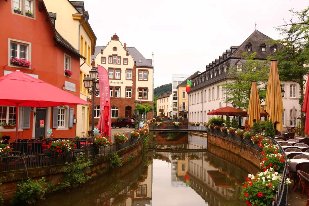
There were pedestrian bridges across the Leukbach, which allowed us to experience top down views of the waterfall from both sides. There were also more cafes and shops on the opposite side of the watercourse so one could relax and soak in the ambience of the historical center of the medieval city with the sounds of the waterfall itself.
Overall, we spent less than an hour away from the car though it’s easy to spend more or less time here (possibly in less than 30 minutes) depending on how much time you’re willing to spend here.
Finally, something that we noticed regarding German and Austrian waterfalls was that there tended to be many different spellings or pronunciations referring to what we’re calling the Saarburg Waterfall. Thus, you might see the falls referred to as (der) Wasserfall Saarburg or Saarburg Wasserfall, which would be the way German speakers would refer to it.
Related Trip Reports
Related Top 10 Lists
No Posts Found
Related Itineraries
Trip Planning Resources

Nearby Accommodations
This content is for members only. See Membership Options.Featured Images and Nearby Attractions
This content is for members only. See Membership Options.Visitor Comments:
Got something you'd like to share or say to keep the conversation going? Feel free to leave a comment below...No users have replied to the content on this page
Visitor Reviews of this Waterfall:
If you have a waterfall story or write-up that you'd like to share, feel free to click the button below and fill out the form...No users have submitted a write-up/review of this waterfall
Nearest Waterfalls
