About Ramhultafallet
Ramhultafallet was a wide and multi-tiered waterfall that spilled a cumulative 64m over perhaps three main drops before dumping right into the Lake Lygnern.
That lakeside location alone compelled us to make sure we visited this waterfall, which sat fairly close to Sweden’s second largest city in Gothenburg (or Göteborg).
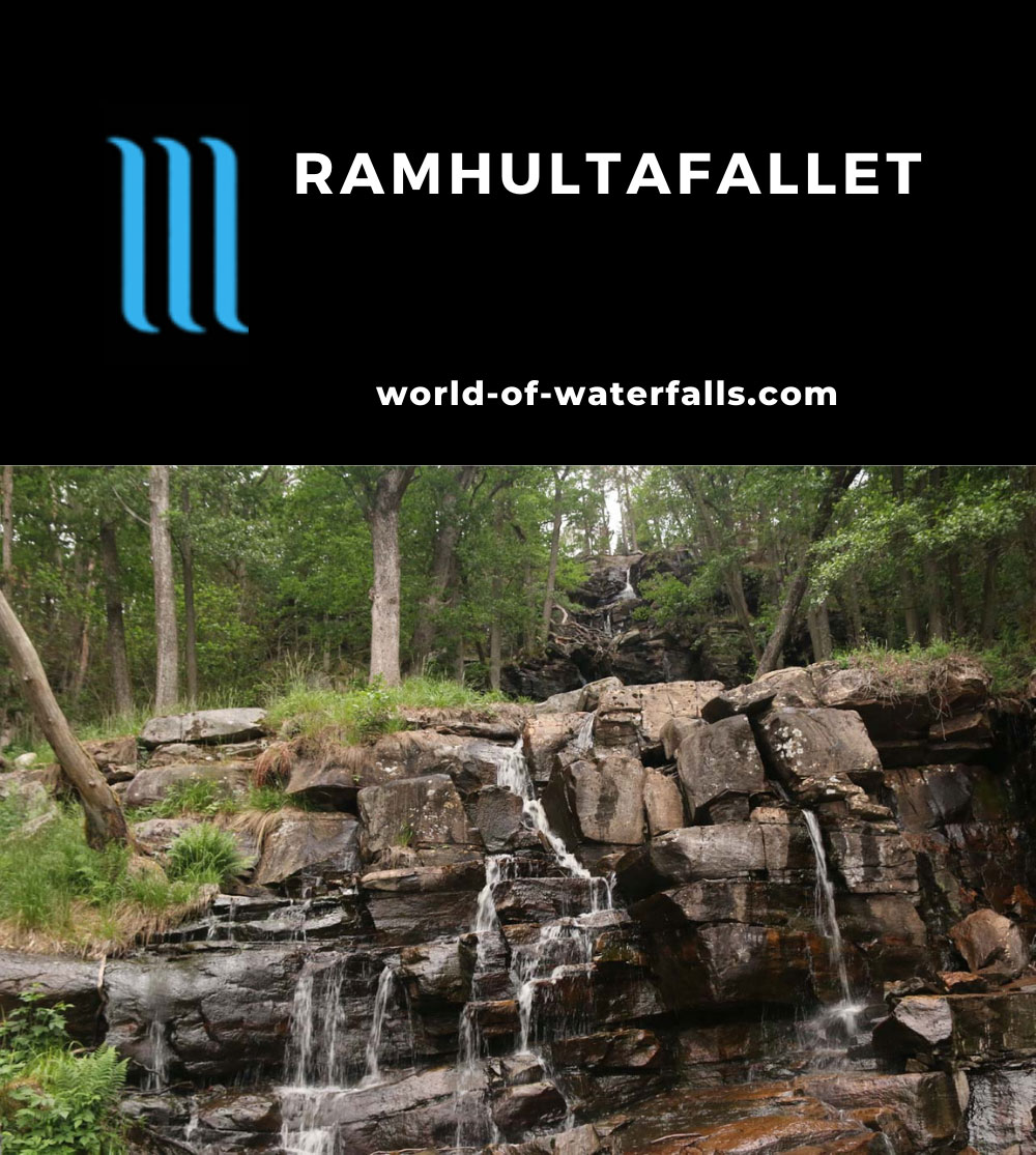
Speaking of the lakeside location, apparently the lake was conducive for activities like fishing, boating, or even enjoying beaches at some parts of the shore.
Unfortunately on the day we visited in mid June of 2019, as you can see in the pictures on this page, the weather wasn’t conducive to such activities.
History at Ramhultafallet
Although the waterflow could vary greatly throughout the year (something clearly evident when you compare our photos here with the internet pictures showing higher flow), apparently, this waterfall powered mills since the 17th century.
According to the signage here, many farmers came from all around the Lake Lygnern to grind their seeds into flour using the power of the water at the falls.
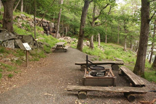
One particular miller even arduously rowed across the lake from Tostared to get to Ramhultafallet to harness its power when it was flowing.
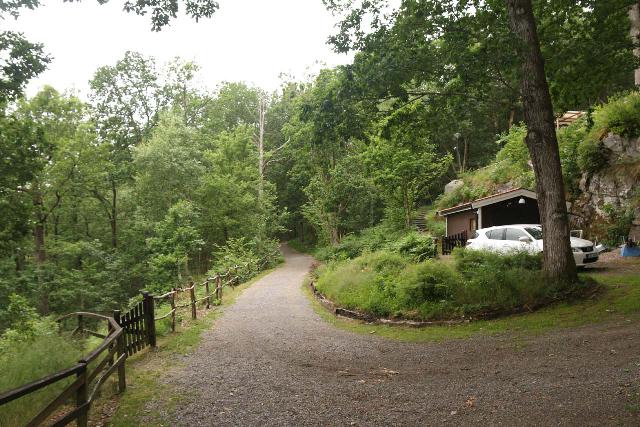
During our visit, we did notice there was a private home along the short trail to Ramhultafallet, but we weren’t sure if they were affiliated in any way with the milling history around here.
The signage here also claimed that the Ramnån (formerly called “Rafna”) Watercourse also happened to define the border between Denmark and Sweden back in the 13th century.
Experiencing Ramhultafallet
Once we arrived at the trailhead at the end of the unpaved road (see directions below), we had a choice of taking 300m upper path or a 250m lower path.
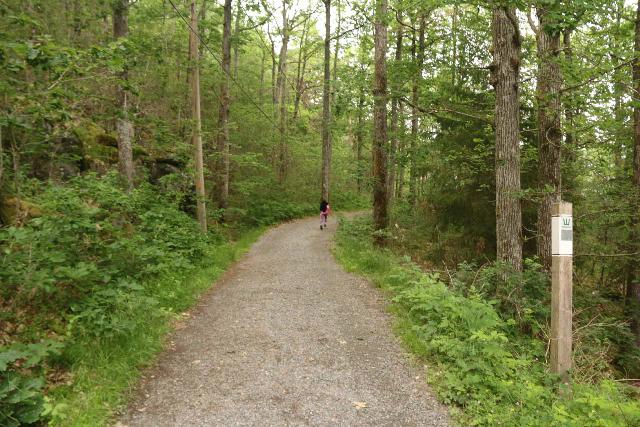
We wound up taking the lower path so we can’t say anything more about the upper path other than it ultimately led to the upper drops of Ramhultafallet.
Anyways, the flat walk followed along what appeared to be a private road.
Perhaps at roughly 175m from the trailhead, we saw a private home, and perhaps that private road really served as its driveway.
Shortly beyond the home, we then reached a fire pit, some other milling relics, and a sign explaining (in Swedish) life at Ramhultafallet.
The trail eventually led us to the middle drop of the falls though I did manage to scramble up to the base of the uppermost drop, where it appeared the upper trail would have ended up.
We also noticed a somewhat slippery trail leading down steps to the base of the lowermost of the vertical drops of Ramhultafallet.
And with a little more descending, we ultimately found a dock right at the shores of Lake Lygnern where we saw the outlet of the waterfall spilling right into it.
Overall, we wound up spending around 45 minutes to fully experience this place, but I could imagine a visit taking as little as a half-hour.
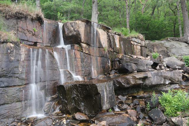
Of course, under better weather than what we experienced, I could also envision lingering here longer to simply bask in this place’s serenity.
Authorities
Ramhultafallet was in the Ramhultafallet Nature Reserve closest to the town of Sätila to the east and Fjärås to the west. The waterfall itself resided in the Marks Municipality in the county of Västra Götaland, Sweden. For information or inquiries about the area as well as current conditions, you may want to try this Nature Reserve website.
Related Top 10 Lists
No Posts Found
Trip Planning Resources
No Posts Found
Nearby Accommodations
This content is for members only. See Membership Options.Featured Images and Nearby Attractions
This content is for members only. See Membership Options.Visitor Comments:
Got something you'd like to share or say to keep the conversation going? Feel free to leave a comment below...No users have replied to the content on this page
Visitor Reviews of this Waterfall:
If you have a waterfall story or write-up that you'd like to share, feel free to click the button below and fill out the form...No users have submitted a write-up/review of this waterfall


Only logged in users can post a comment Please login or sign up to comment