About Fervenza do Toxa

The Fervenza do Toxa was our first taste of waterfalling in the lush Galicia Region of Spain in the country’s northwest. The thing that really stood out to us about this excursion was that there were ferns growing alongside the trail (a sure sign of a high rainfall area) and there was a higher degree of mugginess as well. In fact, I had read that this part of Spain was similar to the Pacific Northwest in the USA in that one could expect cooler, mistier, and changeable weather with high rainfall and plenty of temperate rainforest-type vegetation that one would typically associate with places like the Olympic Peninsula in Washington.
So add to that environment this impressive 60m waterfall (in which the photos really don’t do it justice because it’s HUGE), and we had ourselves a peaceful yet memorable experience that was quite different from all the other waterfalling experiences in Spain to this point. Not only was this waterfall tall, but it had fairly high volume, when we had started to get conditioned to lower-than-average-flow from many of the other waterfalls in Spain during our 2015 visit. It was just too bad that we were kind of looking against the sun so we were taking photos in suboptimal lighting conditions.
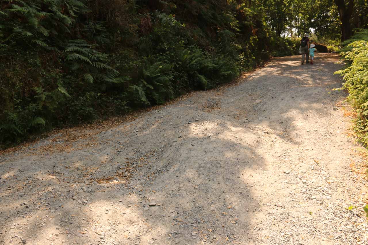
Then, we continued descending on a fern-fringed walkway with glimpses of some nearby towns in the distance beneath power lines before the trail steepened a bit more towards the bottom where there were steps. Given the humidity during our visit, we knew it would be a pretty sticky hike back up. Nevertheless, at the bottom of the descent, there were stone picnic tables in view of the top part of the Fervenza do Toxa Waterfall, and then the footpath pretty much ended right at the base of the falls. Actually, it was hard to tell where the footpath ended and where the waterfall’s plunge pool began because parts of that footpath was inundated with water during our visit.
The refreshing spray from the waterfall was a welcome relief to the heat and humidity during our visit. It also rejuvenated us for the sweaty hike back up to our car. Overall, we had spent a little over an hour away from the car, but again, some of that time was spent walking a little farther than what the authorities probably wanted us to do.
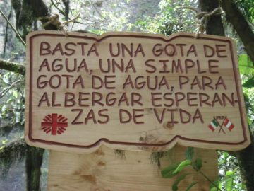
Finally, one thing I noticed about the name Fervenza do Toxa was that it was not Spanish. Actually, it’s Galician (or Gallego), which appeared to be a hybrid language between Portugese and Spanish. In fact, many of the signs as well as restaurant menus in this part of Spain were in Gallego. A few things that I picked up while touring this region was that the el and la in Spanish became o and a in Gallego, and the word saída was Gallego for the Spanish word salida or “exit”. Also the word fervenza meant “waterfall” in Gallego.
Related Trip Reports

Related Top 10 Lists
No Posts Found
Related Itineraries

Trip Planning Resources

Nearby Accommodations
This content is for members only. See Membership Options.Featured Images and Nearby Attractions
This content is for members only. See Membership Options.Visitor Comments:
Got something you'd like to share or say to keep the conversation going? Feel free to leave a comment below...No users have replied to the content on this page
Visitor Reviews of this Waterfall:
If you have a waterfall story or write-up that you'd like to share, feel free to click the button below and fill out the form...No users have submitted a write-up/review of this waterfall
Only logged in users can post a comment Please login or sign up to comment