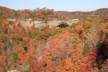
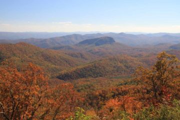
About Upper Piney Falls

Upper Piney Falls was a pretty 80ft waterfall that we got to walk behind. In an effort to avoid confusion, we’re sticking with designating the main waterfalls on this page the Upper and Lower Piney Falls (yes there’s a second waterfall here) because there happened to be another Piney Falls in Falls Creek Falls State Park further to the west near Spencer.
There seemed to be a bit of confusion regarding how dangerous visiting the falls was, but after our experience, those claims were either exaggerated or they were describing the conditions prior to improvements (especially regarding the signage) that we benefitted from.
From the small car park and trailhead (see directions below), we followed a wide trail that made a curve around what appeared to be a sign board except there was no sign on it. Instead, there were etchings (graffiti, if you will) on the wooden foundation with conflicting claims of how dangerous the descent to the base of the Upper Piney Falls was. While such messages planted seeds of doubt about whether we could visit the falls or not, we proceeded nonetheless.

At this point, the trail got a bit narrower with one short steep part that I’m sure would be easy to miss on the return if not for the trail markings. Eventually, we’d reach another junction where going left descended steeply for the Lower Piney Falls (we came back here later) and the right went continued to the base of Upper Piney Falls.
At this point, the trail started to hug the escarpment responsible for the plunge of Little Piney Creek over Upper Piney Falls. We happened to chance upon a dead deer by the trail during our hike, which we suspected were due to illegal hunting (as signs indicated this place prohibited such acts).
Eventually after roughly 1.5 or 2 miles (just a guess), the trail reached the Upper Piney Falls and even continued behind the falls as well as a little beyond it for a different angled view. Unfortunately, the late morning sun was against us from that different angled view, which made photography from there a bit difficult.
However, we did notice that the cliff wall adjacent to the trail here exhibited what appeared to be faintly discernable basalt formations (not sure if it is indeed basalt or not though). Whatever the case may be, it clued us in that this cliff was probably volcanic in origin and this layer of hard rock was why the creek plunged the way it did. This cliff also dripped water attesting to the amount of upstream moisture that spread from the creek and into the soil and vegetation.
Returning back to the junction with Lower Piney Falls, I made a very steep descent (might be even trickier if the ground was muddy and wet) towards a top down view of the smaller 40ft waterfall itself. I don’t think there was a safe way to get to the bottom of this one and I didn’t feel like trying. Plus, the sun was totally against me while most of the falls was in shadow so I didn’t linger here too long.
Just to give you an idea of time, we spent about 90 minutes to do all the hiking and photo taking for both waterfalls.
Related Trip Reports
Related Top 10 Lists
No Posts Found
Related Itineraries
Trip Planning Resources

Nearby Accommodations
This content is for members only. See Membership Options.Featured Images and Nearby Attractions
This content is for members only. See Membership Options.Visitor Comments:
Got something you'd like to share or say to keep the conversation going? Feel free to leave a comment below...No users have replied to the content on this page
Visitor Reviews of this Waterfall:
If you have a waterfall story or write-up that you'd like to share, feel free to click the button below and fill out the form...No users have submitted a write-up/review of this waterfall
Only logged in users can post a comment Please login or sign up to comment