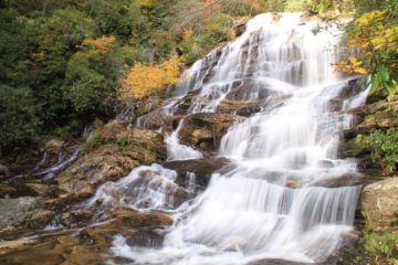
About Rainbow Falls

Rainbow Falls (the one we’re talking about here is on the Horsepasture River) was true to its name as we happened to show up a little after high noon when it produced bright rainbows.
This 125ft waterfall had quite a bit of flow during our visit. In fact there was so much mist that the closest overlook in front of the falls was completely blasted with spray making photography down there a real risk for water damage to the camera. But perhaps it was this flow that got Julie to declare this waterfall to be her favorite one on the day we happened to be visiting it.
Now while Rainbow Falls is the signature waterfall on the Horsepasture River, it turns out that there are many other waterfalls along this river. We only happened to visit this one and Turtleback Falls (also known as Umbrella Falls). However, we did notice a sign for Stairway Falls as well as mentions from other folks we talked to on the trail for Drift Falls. We even talked to one couple wielding a waterfall book saying they intended to visit at least five waterfalls on the Horsepasture River all on the trail we were on!
Apparently in the past, you used to be able to park along Hwy 281 and hike barely a half-mile down towards Drift Falls, Turtleback Falls, and Rainbow Falls. Since weren’t able to exercise this option, we’ll break down how we were able to do it.
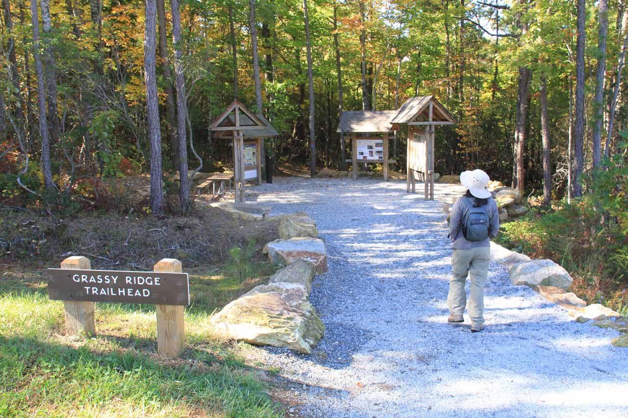
The descent from the trailhead began by heading towards a trail junction where we turned right and continued descending on the trail (turning left would’ve headed to some campground). Throughout this part of the trail, we followed the Horsepasture River upstream. Somewhere well into this descent, there was a fork with a rather confusing signpost for what we believe was Stairway Falls (which we didn’t do). Eventually, the descent bottomed out close to the river, then the trail climbed up a combination of steps and uphill slopes.
The climb persisted until we’d eventually reach some wooden guard rails in the front of Rainbow Falls. Just beyond a very wet spot on the trail (prone to being blasted by the waterfall’s mist), there was a fork in the trail where the left path descended towards a lower overlook where (as mentioned earlier) it was difficult to take photos.
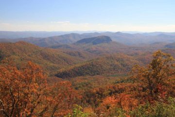
The right fork continued climbing. When the climb flattened out, there was access to the top of Rainbow Falls. From up here, we were better able to appreciate its height in addition to the Autumn colors surrounding the basin. However, we had to be very careful here as there were no guard rails and the river was flowing fast!
Continuing on the trail barely a couple hundred yards or so was Turtleback Falls (whose profile could also be seen from the top of Rainbow Falls). This was our turnaround point, but like I said earlier, there were more waterfalls further upstream still though I’m not sure about private property issues concerning Drift Falls and didn’t feel like testing it.
Overall, we spent a little over 2.5 hours encompassing both the hike, all the photography, and even engaging in some conversations with some friendly folks sharing both the trail and the falls with us.
Related Trip Reports
Related Top 10 Lists

Related Itineraries
Trip Planning Resources

Nearby Accommodations
This content is for members only. See Membership Options.Featured Images and Nearby Attractions
This content is for members only. See Membership Options.Visitor Comments:
Got something you'd like to share or say to keep the conversation going? Feel free to leave a comment below...No users have replied to the content on this page
Visitor Reviews of this Waterfall:
If you have a waterfall story or write-up that you'd like to share, feel free to click the button below and fill out the form...No users have submitted a write-up/review of this waterfall
Only logged in users can post a comment Please login or sign up to comment