About King Creek Falls

King Creek Falls is a nice 60-70ft waterfall (though I did see someone else say it was 75ft) with a satisfying flow and shape that made us wish we had brought a tripod (we ended up having to hold our breaths when taking long exposure photos).
Getting a good view of the falls without drenching our hiking boots involved precariously hopping slippery rocks and wet logs. We didn’t keep going to the mini-beach on the opposite side of the stream as we were pretty happy with the frontal views from the middle of the stream.
It turned out that we stumbled upon a couple of ways to reach this waterfall (though none of them were obvious from the car park as there was an absence of signs telling you where to go). We suspect that we started off with a longer path and then came back to the car park (accidentally) via a shorter and more direct path. So we’ll describe how we did this excursion, which describes both approaches in one shot.
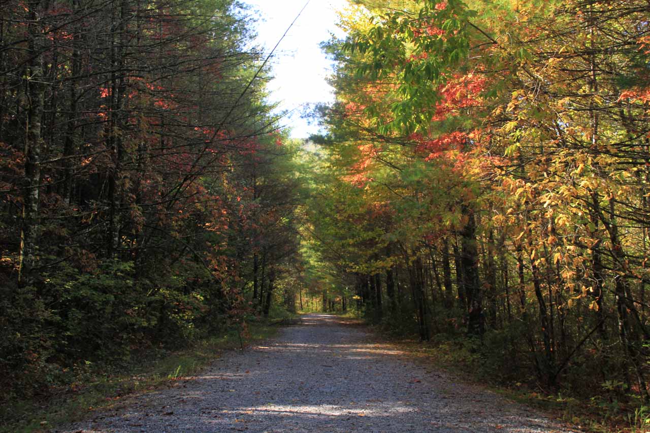
Continuing on towards the Chattooga River, we happened to see a signposted trail junction for King Creek Falls. So we followed this trail alongside King Creek for a short distance before crossing over a bridge and keeping left at the fork to continue going upstream alongside King Creek (the right fork was for the Foothills Trail, which we didn’t do).
After another 0.2 miles of walking along ledge full of fallen leaves and some mild exposure to the creek below, we reached the cool and mostly shaded falls. As we said earlier, we did have to get onto some obstacles in the stream itself for better views.
When we returned from the falls, after crossing back over the footbridge over Kings Creek, we inadvertently went straight instead of going left and following King Creek back to the trail connecting with the Chattooga River. It turned out that the uphill trail we took ended up back at the car park in about 0.5 miles. Perhaps this was the shorter path to take to begin with for the King Creek Falls.
In the vicinity was also Spoonauger Falls. However, given our error, we weren’t about to go back down the gated road to find this 40ft falls then backtrack back up to the car park. So we skipped it.
Related Trip Reports
Related Top 10 Lists
No Posts Found
Related Itineraries
Trip Planning Resources

Nearby Accommodations
This content is for members only. See Membership Options.Featured Images and Nearby Attractions
This content is for members only. See Membership Options.Visitor Comments:
Got something you'd like to share or say to keep the conversation going? Feel free to leave a comment below...No users have replied to the content on this page
Visitor Reviews of this Waterfall:
If you have a waterfall story or write-up that you'd like to share, feel free to click the button below and fill out the form...No users have submitted a write-up/review of this waterfall
Only logged in users can post a comment Please login or sign up to comment