About Amicalola Falls

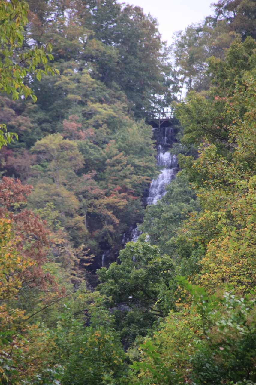
Amicalola Falls is said to be the tallest waterfall in the state of Georgia (and proclaimed to be the tallest waterfall east of the Mississippi River) at a cumulative drop of about 729ft.
Personally, I think this figure might be a little bit of a stretch. That’s because it really drops over a combination of obvious steep sections as well as cascades that border on just rapids and stream beneath its main tiers.
We weren’t able to get the full view of the falls in one go given the presence of trees obscuring most of its stream when viewed from a distance. Instead, we were able to catch a glimpse of the uppermost drop from the trailhead as well as its cascades and main tiers along the trail. There was a bridge that crossed before the waterfall where we thought the falls was most photogenic.
We managed to see the falls both from its top as well as up its base. Although it was possible to hike the entire one-mile trail to the top of the falls (each way, I think, though I couldn’t verify the actual distance of this trip), we did it the lazy way. And by that, we mean we drove up (see directions below) to the top of the falls then briefly walked to a bridge above the falls with a gorgeous view over its top. Then, we drove back down towards the official car park and trailhead and followed its paved path leading up to the base of the falls and beyond.
We opted not to do the entire trail in one go because we noticed that most of the uppermost stairs didn’t yield any more good views of Amicalola Falls. We also noticed that the Appalachian Trail (AT for short) was accessible from connecting trails at the top of the falls so perhaps this waterfall would be the warm-up act before getting onto the famous long trek itself.
As for the walk (from the lower car park) that most people do, it began by going around a large pond that apparently doubled as a skating rink (at least according to what the signs there were suggesting). It was from this pond that we were able to see the uppermost tier of Amicalola Falls. Photographing it from here definitely required a telephoto lens.
The paved walk then proceeded beyond the rink and sloped as it meandered alongside the stream responsible for the falls. Eventually after some 10-15 minutes of uphill walking, we reached a section where the stairs began. A sign there said that it was 175 steps, and I believe that quantity pertained to getting to the footbridge across the falls (though the sign wasn’t specific nor did we count our steps to verify it). Whatever the case, it was here where we got our best photos of the Amicalola Falls.
Beyond the bridge, the stairs continued onwards to the top of the falls thereby bringing the total to 425 steps, according to my interpretation of the signs. However, we didn’t do these steps so we can’t comment more on that section of the trail.
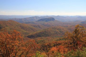
During our visit, the Autumn colors hadn’t quite started peaking yet. However, there were still enough colorful leaves to add some life to scenery around both the falls and the trail. When there was a breeze, leaves fell slowly and in bunches like snowflakes, which kind of made the scenery magical (since we were not at all familiar with Autumn scenery in Los Angeles). Given all these things that occurred at the falls and that it was the very first waterfall we visited on our 2012 Southern Appalachians trip, I’d have to say this was quite the kick off to that trip!
All things considered, it took us about an hour to do the hike to its base and back as well as to take photos. Visiting the top of the falls via the lazy way only took us 15 minutes away from the car.
Related Trip Reports

Related Top 10 Lists
No Posts Found
Related Itineraries
Trip Planning Resources

Nearby Accommodations
This content is for members only. See Membership Options.Featured Images and Nearby Attractions
This content is for members only. See Membership Options.Visitor Comments:
Got something you'd like to share or say to keep the conversation going? Feel free to leave a comment below...No users have replied to the content on this page
Visitor Reviews of this Waterfall:
If you have a waterfall story or write-up that you'd like to share, feel free to click the button below and fill out the form...No users have submitted a write-up/review of this waterfall
Only logged in users can post a comment Please login or sign up to comment