About Chutes de Plaisance (Chutes de Moulin)

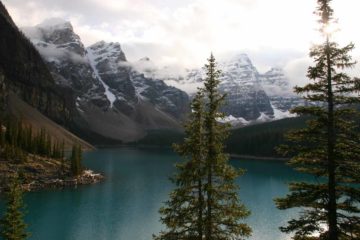
The Chutes de Plaisance (also known as Sault-de-la-Chaudiere; not to be confused with Les Chutes de la Chaudiere near Quebec City) was a wide and powerful series of cascades tumbling within a fairly undeveloped area between Ottawa and Quebec in the Plaisance Municipality. It wasn’t easy to get a satisfyingly full view of the cumulative 67m falls due to the amount of foliage at all of the viewpoints as well as the overall size of the waterfalls, and the photo you see at the top of this page was perhaps the best view I was able to get. Yet that view was not all that there was to the main drop!
My visit happened to occur on a weekday morning when nobody was at the entrance shack at the trailhead (see directions below) so apparently we weren’t subject to the $5 CAD per person fee to visit. I immediately followed an obvious trail that descended on what seemed to be more like a 4wd track that followed along the Riviere de la Petite Nation. It didn’t take long before I started to notice one picnic table after another along the trail then spreading out to other forested openings on either side of the trail.
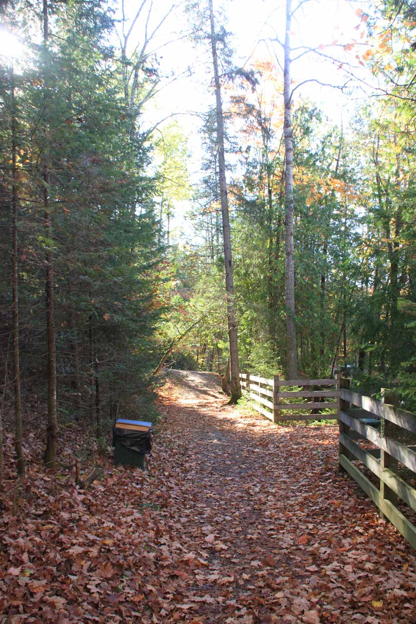
Around the picnic tables, I scrambled towards the fences where I spotted some informal views between the foliage providing partial views of the Chutes de Plaisance. From what I was able to tell, most of the views except maybe one or two weren’t obvious. Plus, that fence was all along the dropoffs ensuring that only the determined visitor would fall into the gorge.
After getting my fill of what partial views I was able to get of the impressive waterfalls, I then kept going downhill where I saw some stairs that ultimately led me down to the riverbank a short distance downstream from the last of the tiers of the Chutes de Plaisance. While I was down at the riverbank, I did some awkward scrambling on the rough surface towards where I could get the last partial views of the falls, which were mostly blocked due to the twisting action of the falls amidst the rocky terrain. However, there were plenty of creatively stacked rock cairns on the riverbed so I’d imagine this might be a good fishing spot (or possibly a swimming hole though the speed of the river made me wonder if that would be wise here).
The riverbed was my turnaround point. I didn’t continue hiking further downstream so I couldn’t say what was further along the trail. Thus, all in all, I spent about 40 minutes to hike down and back up to the car park as well as take a short walk to the road bridge near the car park where I could see downstream over the uppermost tier of Chutes de Plaisance as the Riviere de la Petite Nation cut through colorful forests.
I also noticed that on some of the maps of this area, this waterfall (or something further downstream) was also referred to as the Chutes du Moulin (Waterfalls of the Wheel?). It wasn’t clear to me whether this was the same waterfall as the Chutes de Plaisance or if it was a different waterfall altogether. If it was a different waterfall, perhaps in hindsight I should’ve continued down the trail. Then again, I wasn’t sure how far I would’ve had to walk considering the river flattened out and calmed down for as much as I was able to see downstream at my turnaround point.
Related Trip Reports

Related Top 10 Lists
No Posts Found
Related Itineraries
Trip Planning Resources
Nearby Accommodations
This content is for members only. See Membership Options.Featured Images and Nearby Attractions
This content is for members only. See Membership Options.Visitor Comments:
Got something you'd like to share or say to keep the conversation going? Feel free to leave a comment below...No users have replied to the content on this page
Visitor Reviews of this Waterfall:
If you have a waterfall story or write-up that you'd like to share, feel free to click the button below and fill out the form...No users have submitted a write-up/review of this waterfall
Only logged in users can post a comment Please login or sign up to comment