About San Juan Falls

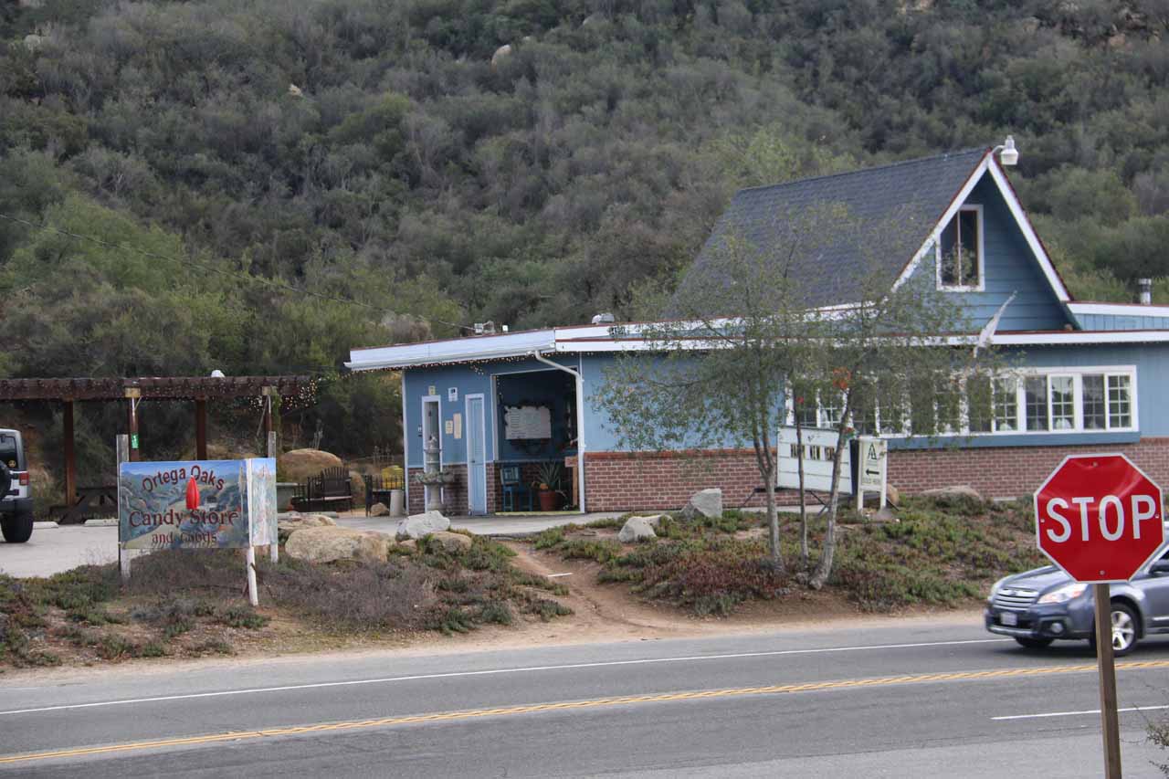
San Juan Falls was one of those waterfalls that we had overlooked in all the years of waterfalling the Southland. Part of the reason why we hadn’t bothered to visit this waterfall for all these years was that we were in the midst of a severe drought (our visit happened in January 2016). But when we were returning home from a Legoland Trip, where we made a detour to visit Jack Creek Falls near Escondido before heading up through Temecula to Lake Elsinore on the way home, we figured we mind as well seize the opportunity to see what this waterfall along the Ortega Highway (nearby Ortega Falls) was all about. After all, we had just come off from a series of saturation storms so we figured this waterfall had a chance of being revived.
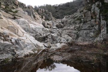
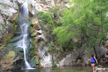
But as you can see from the photos on this page, San Juan Falls did have some flow, but it was still on the borderline trickling side. The waterfall itself was quite tiny as its most visible drop (shown in the photo above) was probably on the order of 15-20ft tall. It turned out that there was a lower tier that was similarly sized but much harder to see as well as some much tinier upper tiers. So the overall height of this waterfall if you count those other tiers could very well be on the order of 40-50ft or so. But it really seemed like the allure of this excursion was really more about the rocks and the cliffs surrounding the waterfall itself.
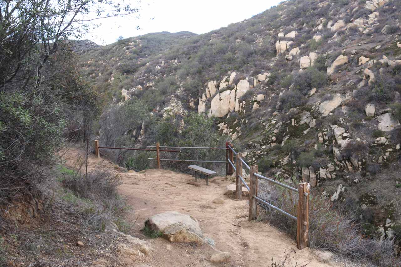
Then, the trail veered more inland away from the road and over a few rocky sections as it made its gradual descent towards the ravine containing the San Juan Falls. Eventually, the trail reached a junction near some railings and a bench, where we were able to get our first glimpses of the most visible part of the San Juan Falls though the view from here left a lot to be desired due to some desert vegetation getting in the way. This was as far as Julie and Tahia were willing to go. In order to improve the views of the falls, some fairly risky off-trail scrambling was required.
The second opportunity to improve the San Juan Falls experience involved getting right to the base of the waterfall’s main tier. Returning back to the lookout area, I then took followed an obvious trail on the right side of the railings, which led down to the creek well upstream of the San Juan Falls. From there, it was a slippery stream scramble towards the top of the waterfall. Once near the waterfall, I saw that there was a somewhat slippery and dicey short scramble around the south bank of the creek to get around the main drop of the falls and then get right to the pool fronting the waterfall. By the way, this scramble around the waterfall to its base can be a bit dicey, especially when the rocks are wet and slippery. It’s the very reason why I bumped up the rating to 2.5 instead of just 2.
Once I got to the base of the main tier of San Juan Falls, that was when I realized that there was a lower tier further below, which involved another dicey scramble that I wasn’t as willing to go far on. This lower tier was also not as visible nor as photogenic as the upper tier so this was my turnaround point. When I looked around and observed all the white rocks surrounding me, I realized that the cliff next to me was a sheer vertical cliff, and that it contained that ledge where I manged to get the best photo that I could of San Juan Falls. I guess I could see why there were bolts on this cliff given its sheer verticality.
When I returned to the lookout area, I didn’t continue hiking the 2.2 mile San Juan Loop. Instead, I was content to turn back the way I came, which was roughly a mile round trip. Overall, we spent about an hour away from the car.
Related Trip Reports
Related Top 10 Lists
No Posts Found
Related Itineraries

Trip Planning Resources


Nearby Accommodations
This content is for members only. See Membership Options.Featured Images and Nearby Attractions
This content is for members only. See Membership Options.Visitor Comments:
Got something you'd like to share or say to keep the conversation going? Feel free to leave a comment below...No users have replied to the content on this page
Visitor Reviews of this Waterfall:
If you have a waterfall story or write-up that you'd like to share, feel free to click the button below and fill out the form...No users have submitted a write-up/review of this waterfall
Only logged in users can post a comment Please login or sign up to comment