About Nandroya Falls

Nandroya Falls was an attractive multi-tiered waterfall said to have a cumulative drop of 50m. It seemed to us to be one of those obscure waterfalls amongst the plethora of waterfalls in the Atherton Tablelands. Perhaps the reason for this perception was that we had to earn our visit to the falls going on a loop walk that was 5.3km long (though the park literature said it was 6km long). But the reward for the effort was a tall plunging upper drop of the waterfall followed by a segmented multi-pronged lower drop where Douglas Creek twisted and altered its direction between the drops. Thus, the two main tiers of the falls were falling at different angles from each other (as you can see from the photo at the top of this page). There was also a bonus waterfall sighting at Silver Creek Falls along the way.
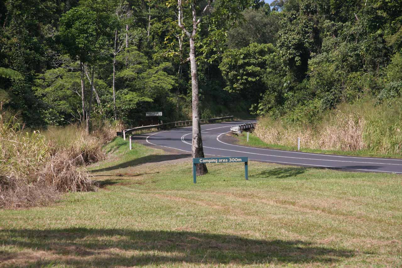
Julie and I actually weren’t sure if the trailhead we took (let alone the car park; see directions below) was the legal place to leave the car. Even though we saw other people already parked where we ultimately started the track, something just didn’t see right about driving and parking on grass. Anyhow, during our May 2008 visit, we were led to this alternate start to the track because the formal trailhead was closed (due to some work being done on a bridge over Henrietta Creek, I think). In hindsight, perhaps we were supposed to walk onto this alternate start to the track instead of driving there.
About three-fourths the way to the waterfall (shortly before the trail junction on the far side of the loop), the track passed before the attractive 10m Silver Creek Falls. This light-flowing waterfall had a plunging drop, but its light flow made me wonder whether it would last far into the Dry Season. Our visit happened to have followed some late season rains (as evidenced by the wet pavement even though we hadn’t experienced the rain directly ourselves).
Beyond the Silver Creek Falls creek crossing, the track then ultimately followed along Douglas Creek as we first passed by the lower segmented tier of Nandroya Falls. Shortly thereafter, the track turned with the creek towards the dead-end at the plunging upper tier of the falls. Signs had indicated it was 2.2km each way from the start of the track that we took, but it was also said to be 2.4km from the Henrietta Creek Campground. These shorter distances would only apply if the hike was done as a straight out-and-back route. The longer distances mentioned earlier in the page applied to us since we did do the slightly longer circuit walk as we continued our clockwise route. Overall, we spent a over 2 hours and 15 minutes to do the entire hike, which included our time spent exercising our cameras.
Interestingly, this section of Wooroonooran National Park used to be called Palmerston National Park. At least we got that sense from looking at a faded sign by the trailhead near the Henrietta Creek Campground. The importance of this area to warrant its protection was largely due to the rich biodiversity of the tropical rainforest harbouring rare endemic species while also preventing any further resource exploitation.
Related Trip Reports

Related Top 10 Lists
No Posts Found
Related Itineraries

Trip Planning Resources


Nearby Accommodations
This content is for members only. See Membership Options.Featured Images and Nearby Attractions
This content is for members only. See Membership Options.Visitor Comments:
Got something you'd like to share or say to keep the conversation going? Feel free to leave a comment below...No users have replied to the content on this page
Visitor Reviews of this Waterfall:
If you have a waterfall story or write-up that you'd like to share, feel free to click the button below and fill out the form...No users have submitted a write-up/review of this waterfall
Only logged in users can post a comment Please login or sign up to comment