About Cascata del Rio Verde

Cascata del Rio Verde (Rio Verde Waterfall; I’ve also seen it called Niagara Rio Verde) was said to be the highest natural waterfall in Italy at around 200m. While we didn’t have the means to corroborate or refute the claim, we did notice that it possessed multiple leaps with the main tier having a converging Y-shaped drop. Some of the sections of the falls were hidden from us as seen from the official lookout spots. So we suspect that the height figure reported in the literature for this waterfall pertained to its overall cumulative drop.
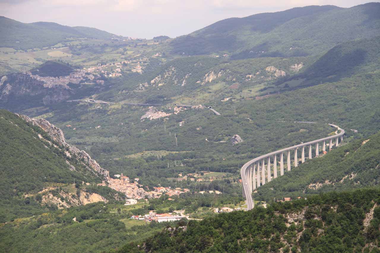
This was the first waterfall we saw in our Italy trip when we gradually made our way north from Naples. Since it was in the Apennine Mountains (essentially a mountain range that are the second highest in the country and forming the “backbone” of the Italian peninsula), it was a bit of a detour (over 3 hours) to get to the town of Borrello, which was the town closest to the falls. From talking with Italians we’ve met, they generally think of Abruzzo (the region in which this waterfall is located) as a place to escape for the weekend to go skiing or even to get back to Nature in Summer. Daytripping for a waterfall in the Abruzzo region (like what we were doing) was not normal.
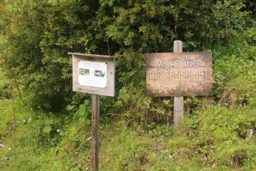
In fact, we noticed signage saying there were rare native flora and fauna trying to maintain their existence in this wilder part of South-Central Italy. We even noticed WWF (World Wildlife Fund) signs perhaps underscoring the emphasis on Nature and protection in this area.
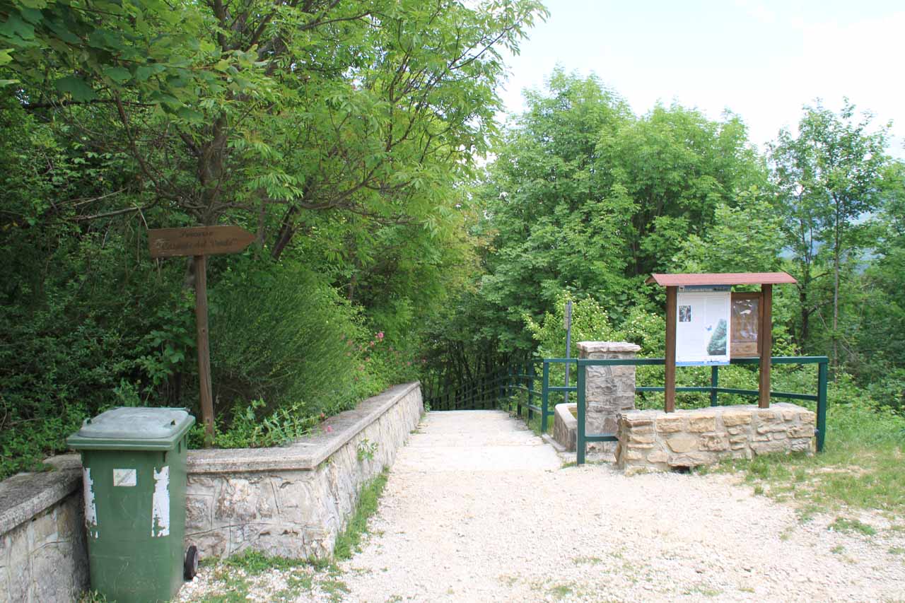
From the open-air car park (see directions below), we took a relatively short 20-minute walk towards a pair of overlooks. Initially, the path followed a gravel road past a biglietteria (ticket office) towards a signed fork where we stayed left.
The path then narrowed as it bypassed a smaller opening (possibly for vehicles that could handle the rougher road to get there) as it entered into the cover of the forest. The trail then descended a bunch of steps towards another junction.
Going down the other path at the junction in the forest, more stairs descended towards the lower lookout deck which yielded us a closer and more direct view of Cascata del Rio Verde (as pictured at the top of this page). Although we were able to see most of the waterfall from this vantage point, trees tended to obstruct its lowermost sections, and it didn’t appear that there was a safe or sanctioned trail leading to the very base of the waterfall, which we didn’t do (despite photos in the literature suggesting it might be possible to get down there).
Overall, we spent about an hour away from the car during our visit. On the way back to the car from Cascata del Rio Verde, we noticed there was an open field with a gorgeous view of Borrello fronting some snow-capped mountains as well as a cross with some signage near the biglietteria.
Related Trip Reports
Related Top 10 Lists
No Posts Found
Related Itineraries
Trip Planning Resources

Nearby Accommodations
This content is for members only. See Membership Options.Featured Images and Nearby Attractions
This content is for members only. See Membership Options.Visitor Comments:
Got something you'd like to share or say to keep the conversation going? Feel free to leave a comment below...No users have replied to the content on this page
Visitor Reviews of this Waterfall:
If you have a waterfall story or write-up that you'd like to share, feel free to click the button below and fill out the form...No users have submitted a write-up/review of this waterfall
Only logged in users can post a comment Please login or sign up to comment