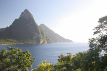
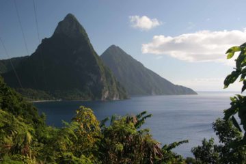
About Anse La Raye Falls

Anse La Raye Falls was a pretty cascade inland from the small, but charming fishing town of Anse La Raye on the western side of the island. Of the handful of falls we’ve seen on the island, we thought this was one of the better waterfalls to visit. It was probably around 15m in cumulative height dropping over three or four discernable drops.
Once we left the car (see directions below), we followed a trail that began by descending down some steps on end of the shack. The shack itself had some writing on it warning that the Anse La Raye stream was part of the village’s drinking water so they did not want people bathing in it.
After the short descent, the trail then meandered alongside the creek before we started to see the waterfall after some 5 minutes or so. That was when we had to cross the creek, which was real easy to do during our visit (especially since we were wearing Keens). Once on the other side of the main creek, we were pretty much right in front of the waterfall.
Even though this spot was pretty sufficient for getting our fill of the falls, I noticed there was a trail to the left that went up steeply along some steps. It was quite lengthy and I didn’t make it all the way to the end, but it appeared to be a roundabout trail leading to the top of the falls (though I’m not totally sure since I didn’t go all the way; so someone please correct me if I’m wrong).
Related Trip Reports
Related Top 10 Lists
No Posts Found
Related Itineraries
Trip Planning Resources
Nearby Accommodations
This content is for members only. See Membership Options.Featured Images and Nearby Attractions
This content is for members only. See Membership Options.Visitor Comments:
Got something you'd like to share or say to keep the conversation going? Feel free to leave a comment below...No users have replied to the content on this page
Only logged in users can post a comment Please login or sign up to comment