About Cornet Falls

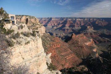
Cornet Falls was perhaps the waterfall that stole the show when it came to waterfalling the Telluride area. As you can see from the photo above, this 80ft waterfall had a lot going for it – the red rock cliff surroundings for contrast, the height and flow, and the snow cone that would even make Disney’s Elsa proud. I was basically made aware of this falls by the receptionist at the Victorian Inn as an alternate to the more famous Bridal Veil Falls, which was not as accessible during our visit due to snow. That said, she made the hike seem easier than it turned out to be, even suggesting that Tahia could do the hike. But as you’ll see shortly, perhaps the trail conditions had changed for the worse since the time the receptionist last did it as I was definitely glad Tahia nor Julie joined me on what turned out to be a trickier hike than I had anticipated.
From the nearest street parking (see directions below), I followed the street uphill just past some homes to its end as the surface became dirt just as I passed some trailhead signage for the “Jud Wiebe Memorial Trail”. Not even a minute’s hike beyond the sign, I then encountered a footbridge that continued the Jud Wiebe Trail. However, for Cornet Falls, I avoided crossing the bridge and continued up the right side of Cornet Creek along a much narrower trail. Barely another few minutes of hiking later, the trail then got to a pretty badly eroded section alongside what appeared to be intermediate cascades well downstream of the main falls. The trail actually was supposed to continue further uphill to the right slightly away from the creek, but I noticed footprints cutting straight for some wooden planks that were set up to try to slow down the trail erosion, and I made the precarious scramble alongside the creek. It turned out that the upper trail going around this eroded section had some dropoff exposure itself, and it still had to negotiate the eroded sloping section where the planks were. This was definitely a section of the hike where I had my doubts about whether this was a safe trail or not.
Beyond this eroded section, the narrow trail continued hugging ledges while going uphill alongside the Cornet Creek below. There were a few more steep and somewhat eroded uphill climbs as well as what appeared to be another little rockslide section, but it seemed to me that the worst part was over back at the first eroded section I encountered. Aside from some dirty snow sections and residual muddiness on the upper reaches of the trail, the narrow trail continued hugging ledges before finally approaching the Cornet Falls after about 15-20 minutes. The falls pretty much sat at what appeared to be the head of this mini-canyon carved out by Cornet Creek as I was pretty much surrounded by cliffs on three sides. The terrain around the base of the falls was also steep and slippery, but it did appear possible to scramble around the backside of the waterfall (if not for the snow cone that was there). That said, I didn’t have to go that far just to get close enough to the snow cone to notice some interesting icicle formations on it. Who knows how much longer this snow cone would typically last before it’d completely melt away.
Anyways, after having my fill of the falls, I went back down the way I came (except I took a slightly longer way at the badly eroded section, which like I said before, was still scary) resulting in me spending about 45 minutes away from the car. Overall, this hike was about 0.3 miles in each direction (0.6 miles round trip), but with the very real dangers of dropoff exposure and some pretty bad trail erosion, I bumped up the difficulty score.
Related Top 10 Lists
No Posts Found
Trip Planning Resources
Nearby Accommodations
This content is for members only. See Membership Options.Featured Images and Nearby Attractions
This content is for members only. See Membership Options.Visitor Comments:
Got something you'd like to share or say to keep the conversation going? Feel free to leave a comment below...No users have replied to the content on this page
Visitor Reviews of this Waterfall:
If you have a waterfall story or write-up that you'd like to share, feel free to click the button below and fill out the form...No users have submitted a write-up/review of this waterfall
Only logged in users can post a comment Please login or sign up to comment